Municipalities
A "home for all citizens", the municipality manages everything related to the daily life of Brussels residents and the communal territory.
What is a municipality?
Every municipality has democratically elected bodies. They act in the interests of the citizens living in their area. They can pass on decisions of other levels of government or exercise autonomous local power by ensuring that residents' democratic rights and duties are respected.
Although municipalities are subordinate to the federal state, communities and regions, they also enjoy a certain degree of autonomy. The constitution recognises the principle of municipal autonomy in all matters of municipal interest. However, this autonomy is counterbalanced by the supervision to which municipalities are subjected.
Municipal duties
Obligatory tasks
- maintaining of public order ;
- maintaining registers of civil status ;
- maintaining population registers ;
- road administration
- primary education
- issuing planning and environmental permits;
- planning
Voluntary tasks
- traffic ;
- housing ;
- approval of planning and urban development instruments;
- socio-cultural activities
- fire safety
The municipal council
The municipal council plays an important role in the municipality. It is responsible for making laws at the local level. It votes on the rules and decisions of the municipality, such as the municipal regulations and by-laws, the budget and accounts. They also elect the aldermen who work alongside the mayor and form the board of mayor and aldermen.
The board of mayor and aldermen
The board of mayor and aldermen is the executive body in charge of the day-to-day administration of the municipality. It consists of the mayor and aldermen, appointed by the municipal council. The mayor, appointed by the regional government, plays a key role in the municipality's administration.
- He/she chairs the municipal council and the College of Mayor and Aldermen.
- He/she signs the ordinances, decisions and deeds of the municipality.
- He/she is responsible for the application of laws and regulations, security and public order in the municipality.
The mayor is both head of the municipality and representative of the local government. If necessary, he/she can seek the help of the federal police or the army to maintain public order.
The municipalities of the Brussels Capital Region
- AnderlechtExternal link
- AuderghemExternal link
- Berchem-Sainte-AgatheExternal link
- BruxellesExternal link
- EtterbeekExternal link
- EvereExternal link
- ForestExternal link
- GanshorenExternal link
- IxellesExternal link
- JetteExternal link
- KoekelbergExternal link
- Molenbeek-Saint-JeanExternal link
- Saint-GillesExternal link
- Saint-Josse-ten-Noode External link
- SchaerbeekExternal link
- UccleExternal link
- Watermael-BoitsfortExternal link
- Woluwe-Saint-LambertExternal link
- Woluwe-Saint-PierreExternal link
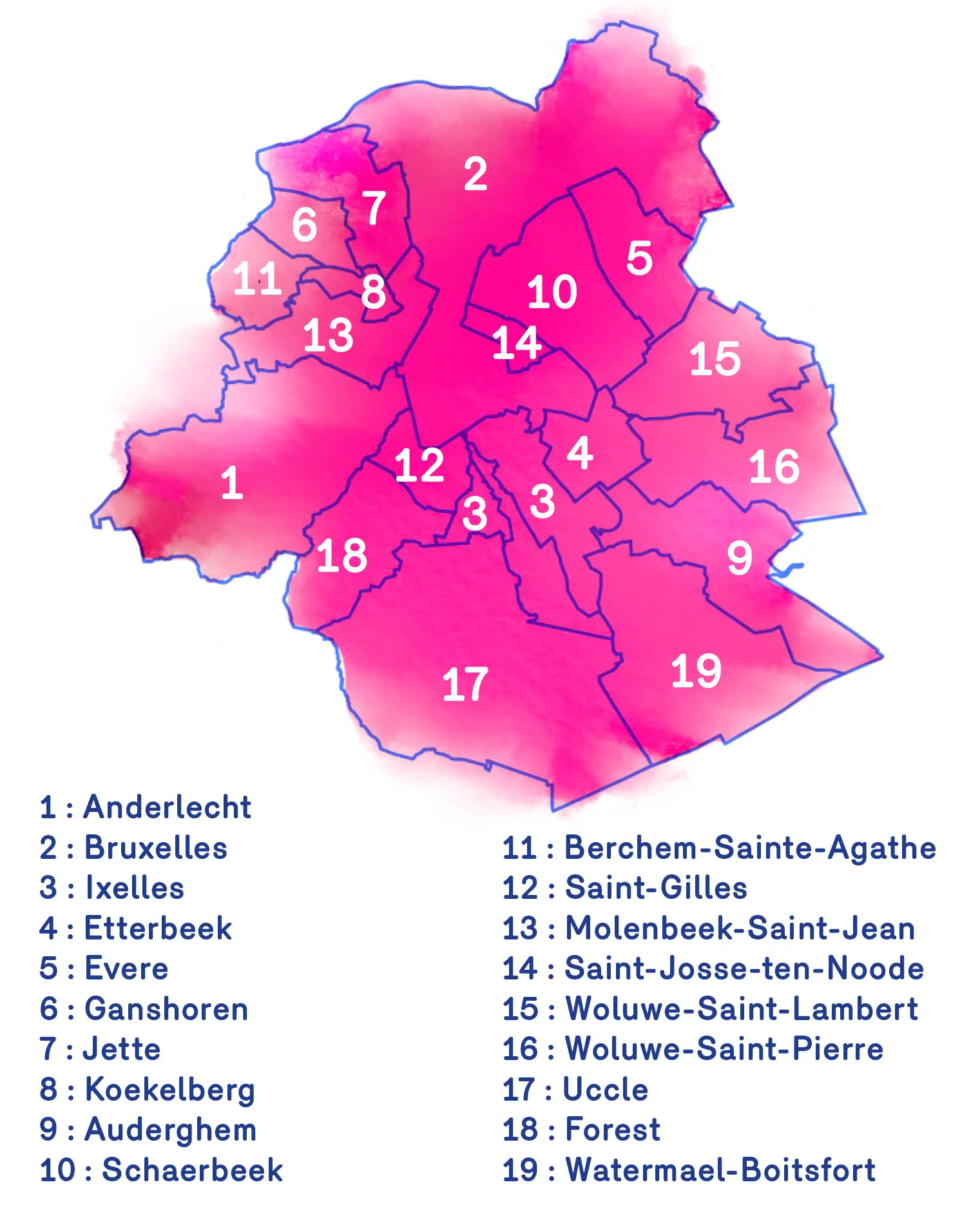
The 19 municipalities of the Brussels-Capital Region